Itineraries
- Home
- Itineraries
- South West Sardinia
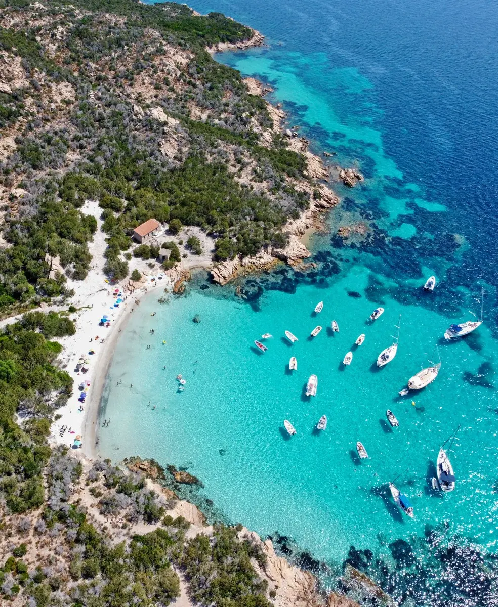
Recommended for those seeking a peaceful holiday with nights at anchor, morning swims, and evenings dedicated to enjoying good food.
South West Sardinia, easy and extremely suggestive itinerary from a naturalistic point of view, on the wildest coast of Sardinia!
A cruise along the south-west coast of Sardinia, even outside the summer months, offers authentic emotions and a sense of pioneering discovery in an area still relatively unknown. Here, the mistral wind reigns, but it also offers shelters of rare beauty.
Departure from Cagliari to arrive in Carloforte and continue north, to discover Sardinia.
Stages
- Cagliari – Nora
- Nora – Chia
- Chia – Teulada
- Teulada – Porto Pino
- Porto Pino – Sant’Antioco
- Sant’Antioco – Carloforte
- Carloforte – Buggerru
CAGLIARI – NORA
Nora Beach is one of the most famous in Pula, renowned for its stunning scenery and the nearby ruins of an ancient settlement, which was first Phoenician, then Punic, and later Roman. These ruins are accessible by tender, and more information can be found on the Sardegna Cultura website. The bay is bordered by a cliff and the promontory with the splendid Coltellazzo Tower, providing shelter from the winds. The area also offers a great spot for a night stop, with approximately 4 meters of seabed depth.
NORA – CHIA
The famous sand dunes, deserted and dazzling, contrast with the blue of the sea and the dark green patches of juniper. This marks the beginning of the most fascinating and pristine stretch of the southern coast. It is possible to anchor in Cala Morto and to the west of the rocks of Su Giudeu.
CHIA – TEULADA
A glance at Cala Cipolla (anchoring 4m) introduces you to the imposing mass of Capo Spartivento, which, as the name suggests, provides shelter from the winds. This area leads to the splendid Tuerredda. In front of the beach, dotted with greenery, stands the islet of the same name, separated from the coast by a barely submerged isthmus, an ideal spot for anchoring even at night. A few tacks of clean and full navigation separate Tuerredda from Porto Malfatano, a passage that requires extreme caution due to the presence of shallow waters, and from the port of Teulada, a new marina in the gulf of the same name, equipped with all comforts. Here, it is worth calling a taxi to visit one of the many farmhouses in the area, some of which offer a splendid view of the gulf and an excellent typical dinner.
TEULADA – PORTO PINO
Once you have rounded Capo Malfatano and reefed the mainsail in case of mistral winds, you enter the area of the military range. This zone serves as a training ground in winter, so it is advisable to contact the Captaincy of Sant’Antioco beforehand to check for any exercises. Access to land is prohibited here, but this restriction helps keep the area uncontaminated and beautiful. The transparency and aquamarine tones of the Porto Zafferano waters are postcard-perfect (anchoring is prohibited, but it is worth a visit even without anchoring). After passing Capo Teulada, Porto Pino is worth a night stop for its dunes topped by Aleppo pine forests, before proceeding towards the smaller islands. After bypassing the shoal of Cala Piombo, you can anchor without problems at 4-6 meters.
PORTO PINO – S’ANTANTIOCO
it lacks the tourist heraldry of Carloforte, but Sant’Antioco is also worth a visit. Having faced the Gulf of Palmas after Capo Sperone, the extreme southern tip of the island (actually connected to the mainland by an isthmus so wide that it can also be traveled by car in both directions) of Sant’Antioco, you go up along the eastern side, towards the Roman Port. Unless the weather conditions are so favorable as to encourage a detour south towards the islets of Vacca and Toro for a quick swim. In the opposite direction, on the northern tip of Sant’Antioco is the town of Calasetta, with an equipped marina.
SANT’ANTIOCO – CARLOFORTE
A few borders separate Sant’Antioco from the island of San Pietro and its only inhabited center Carloforte, starting point for a splendid daily itinerary (see San Pietro Island Itinerary).
CARLOFORTE – BUGGERRU
Having refueled at the fishing port (the entrance must be approached with caution and keeping to the center, given the slope of the ends of the dam), we set off towards the eastern coast, rocky, majestic and full of history. After the long beach of Funtanamare, you arrive at the steep Nebida cliff in which Porto Flavia is set, a suggestive sheer access to the old mining area which produced coal in the first decades of the twentieth century. Navigation proceeds quickly towards the Pan di Zucchero, a set of perforated stacks to be navigated with the tender in every direction, leaving the boat at anchor without any worries (the seabed is high and sandy). The night can be spent at anchor, in the splendid fjord of Cala Domestica, completely sheltered from the mistral. The choice of shore excursions is very rich. CSC’s advice: the port of Buggerru is currently covered in sand, before departure it is a good idea to check the upcoming weather conditions so as not to find yourself stuck halfway. In case of mistral, navigation is advisable only in case of great experience. The closest shelters are the Cala Domestica fjord and the port of Tharros, which is however 33 miles away.

